Photogrammetry in Commercial Applications


The many uses of photogrammetry
The use of photogrammetry is diverse, from simple orthomosaics, digital terrain and surface terrain models to specialist 3D models, NDVI (Normalized Difference Vegetation Index) and thermograms, photogrammetry covers a very full spectrum of commercial applications.
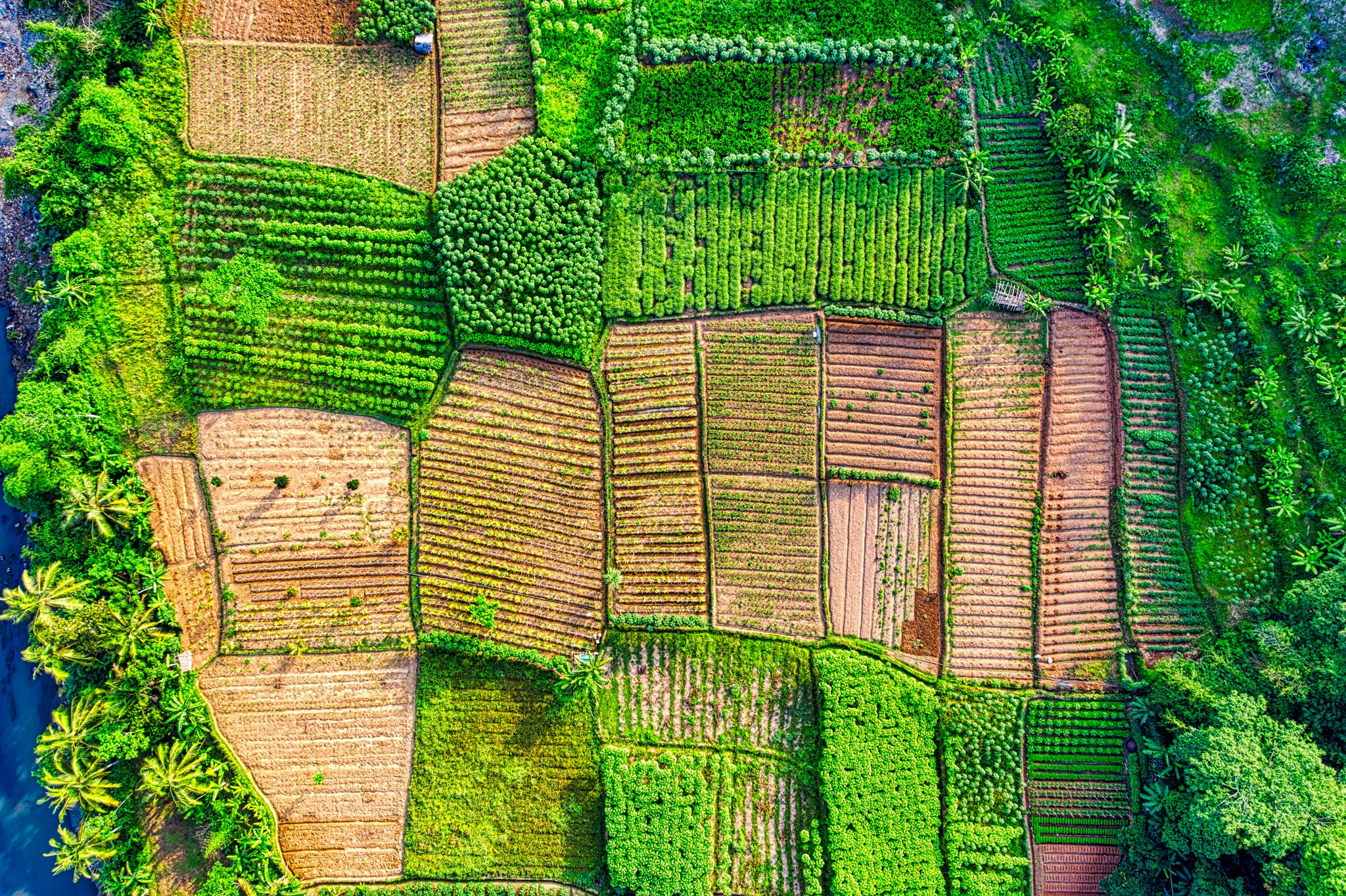
- An orthomosaic is a birds-eye perspective of surface topography, where the resulting stitched picture has been accurately reproduced from multiple smaller pictures.
- Digital Surface Models (DSM) is an elevation model that captures both the environment’s natural and artificial features. It includes the tops of buildings, trees, powerlines, and any other objects. Commonly, this is seen as a canopy model and only ‘see’s ground where there is nothing else above it.
- A Digital Terrain Model (DTM) is a bare-earth elevation model. DTMs do not contain any features above the bare-earth, even persistent ones. Thus, they can be paired with DSMs to derive height information regarding objects on the surface.
- A Digital Elevation Model (DEM) is a generic term for an elevation model, which encapsulates both DSMs and DTMs, and can be generated from various methods, often, because of scale and environment, differentiation between DSM and DTM is unnecessary.
Due to is accuracy and efficiency, aerial photography conduct by drones are the most frequent use of photogrammetry. It has simplified the search for environmental data and offers an extraordinary amount of information about a particular location or object.
Surveying of Land
Photogrammetry is utilised in civil surveying and kind yields quick, accurate and efficient results. The application benefits many organisations, including construction teams, governments, building planners, and architects. Through photogrammetry, they get an understanding of the possible outcomes of their project as well as needed safety precautions, along with the quantity evaluation of aggregates and materials.
Engineering
The field of engineering is aided by drone photography when it comes to construction site evaluation and visualisation and when creating perspective pictures and 3D models. Engineers may produce images of project outcomes, as well as examine what the current environment is right now.
Domestic Property
For almost 80% of millennials, their current or future homes can now be found in digital format on mobile devices. This means mobile-friendly, informative property listings which positively impact the purchasing process and their comprehension of the purchase during the marketing and sales process. Viewers receive an overview of the house, seeing it from all sides along with how the property relates to its environment.
Entertainment and film
In movies and video games, photogrammetry plays a large part in set design and artificial world-building. Once an environment is 3D-modeled, it enables designers to bring unique things to life in a virtual environment, such as whole cities for action scenes and historically correct components, such as sculptures and buildings. Some well-known franchises that employ photogrammetry include “Battlefield” games, which use the aesthetics of their 3D renders and recreations to integrate nicely with their game assets.
Military intelligence
The military have been using photogrammetry to collect covert data for along time, since at least the 2nd Word War. In order to comprehend a given terrain on the battlefield, accurate geo-locational models that process data quickly are required. 3D maps are created using aerial images and photogrammetric technologies with no human involvement and without the enemy knowing. Information about troop and tank/vehicle movements can be determined from using photogrammetry analysis of imprints in earth and sand when compared over time to provide a comprehensive understanding of military activity, along with the construction and deconstruction of military facilities, command bunkers and missile silos.
Forensics
An important portion of criminal investigation is also now accomplished via photogrammetry. It may be valuable to collect facts about the crime scene, such as identifying what happened and ascertaining whether it was physically feasible. Photogrammetric specialists are also often used in looking at road traffic accidents and the data collected subsequently used in the courts.
Sports
The more that coaches and researchers learn about athletes’ actions, the better their tactical decisions will be. Virtual training systems and the monitoring of physical exertion levels provide valuable data about the exercise used by sports mena and women. We see the principles of photogrammetry used in professional football each week with the dread VAR (Video Assistant Referee) used to determine if a play is off-side! Hikers, climbers, skiers, and snowboarders also find topographical maps useful for their outdoor activities. Using photogrammetry to map locations that are far away is more straightforward.
Agriculture and Forestry
Aerial photographs of farmland can provide an understanding of soil conditions, irrigation schedules, nutritional status, and pests. This gives farmers an idea of when to sow or when to irrigate and fertilise their crops. They may also use photogrammetry to evaluate crop damage and growth following natural disasters such as floods or storms. Using photogrammetry in this way makes researching and maintaining forests considerably simpler. These models may be used to quantify different characteristics of a forest, including volume and height, in order to learn more about how a forest develops.
https://www.dronemediaimaging.co.uk/how-is-photogrammetry-used-today/
Comments