The Transformative Power of Drone Technology in the Insurance Industry: Streamlining Business Processes and Enhancing Customer Satisfaction
Insurance companies can greatly improve their business processes by embracing drone technology
Insurance companies have the potential to greatly improve their business processes by embracing drone technology. Drones can be used for various purposes in the insurance industry, such as assessing property damage after a natural disaster or conducting aerial inspections. By using drones, insurance companies can quickly and accurately assess the extent of the damage, which can help in the claims processing and settlement process. This technology can also reduce the time and cost associated with manual inspections, as drones can cover large areas in a short period of time.
Furthermore, drones can enhance safety and risk management for insurance companies. Inspecting damaged properties or conducting risk assessments in hazardous areas can be dangerous for human inspectors. By using drones, insurance companies can minimise the risk to their personnel while still gathering the necessary information. Drones equipped with high-resolution cameras and sensors can capture detailed images and data, providing insurers with a comprehensive understanding of the risks involved. This can enable insurance companies to make more informed decisions and offer better coverage to their customers.
Additionally, the use of drones can lead to faster claims processing and improved customer satisfaction. Traditional methods of property inspection and claims assessment can be time-consuming, causing delays in claim settlements. By utilising drones, insurance companies can expedite this process, allowing for quicker resolution of claims. This can greatly improve customer satisfaction, as policyholders can receive their settlements in a timely manner. Moreover, the use of drone technology can also enhance transparency, as policyholders can see firsthand the damage assessment conducted by the drone, leading to increased trust and confidence in the insurer.
The ideal partnership between drone pilots and insurance loss adjusters is a perfect fit for claims assessment due to their complementary expertise and technological capabilities.
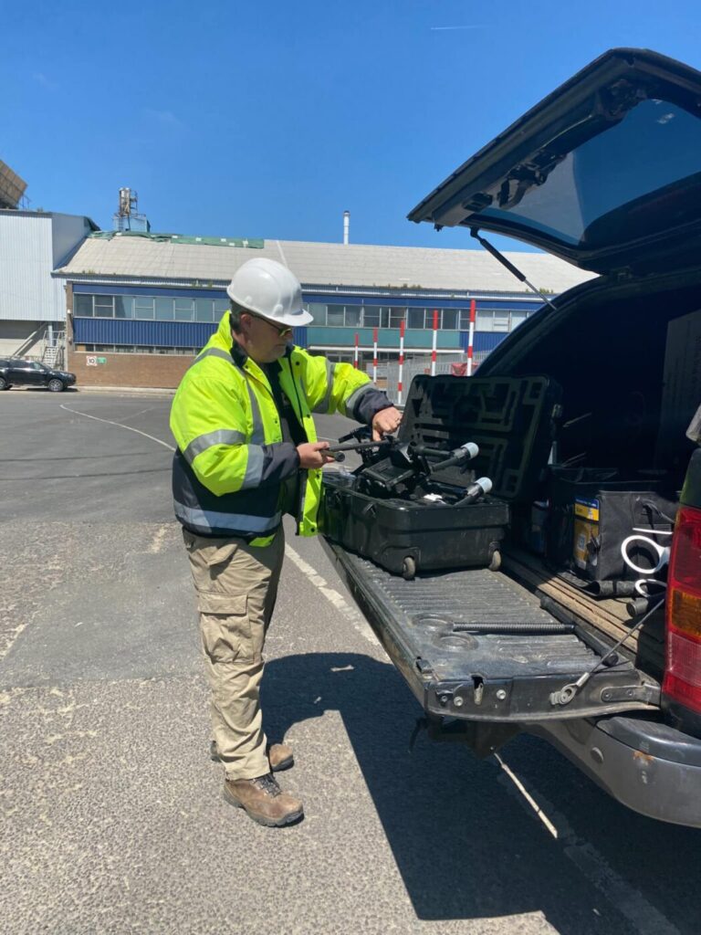
DJI M300RTK Drones have revolutionised the way insurance claims are assessed by providing a unique aerial perspective that was previously inaccessible. Equipped with high-resolution cameras and advanced sensors, drones can capture detailed imagery and data of the affected areas, allowing insurance loss adjusters to make accurate and informed assessments.
Drone pilots, trained in operating these unmanned aerial vehicles, possess the necessary skills to navigate complex terrains and capture the required footage. They can efficiently survey large areas, including hard-to-reach or hazardous locations, such as fire-damaged buildings or flood-impacted regions. With their expertise in maneuvering drones and capturing high-quality visuals, drone pilots can ensure that the insurance loss adjusters have a comprehensive view of the damage, enabling them to assess the extent and nature of the claim accurately.
Insurance loss adjusters, on the other hand, bring their expertise in assessing and evaluating claims to the partnership. These professionals possess an in-depth understanding of insurance policies, coverage limits, and claim procedures. By working in collaboration with drone pilots, they can leverage the captured imagery to evaluate the damage, estimate the financial implications, and determine the appropriate compensation for policyholders. Their experience and knowledge allow them to interpret the drone-collected data effectively, ensuring a thorough and accurate assessment of the claim.
Drone Media Imaging for Port of Tilbury London Grain Store Explosion and Fire
The integration of drone technology in the claims assessment process not only enhances the efficiency but also reduces the time required for evaluation. Traditional methods of assessment often involve manual inspections, which can be time-consuming, especially for large-scale or complex claims. By leveraging drones, insurance loss adjusters can streamline the process, significantly reducing the time and effort needed for on-site inspections. This expedites the claims settlement process, providing faster resolution and relief to policyholders.
Furthermore, the partnership between drone pilots and insurance loss adjusters promotes safety and risk mitigation. Drones can access hazardous areas without risking human lives, ensuring the safety of both the assessors and policyholders. Additionally, drones can capture real-time data, allowing insurance loss adjusters to assess the damage remotely, particularly in situations where immediate physical access may not be possible or safe.
The ideal partnership between drone pilots and insurance loss adjusters offers a seamless collaboration that optimises the claims assessment process. Their combined expertise, coupled with the advanced capabilities of drones, enables accurate and efficient evaluation of insurance claims. This partnership not only expedites the claims settlement process but also enhances safety and risk mitigation, ultimately benefiting both policyholders and insurance companies.
#droneintheinsuranceindustry #insurancecliams #insurancelossadjustment #usignauavforlossadjusting
https://www.dronemediaimaging.co.uk/providing-drone-inspections-services-to-the-insurance-industry/
Comments