Beyond the Surface: Discovering Hidden Issues with Thermal Imaging during Building Surveys
Building surveys have evolved significantly, thanks to advancements in thermal imaging technology and the transformative impact of thermal imaging during building surveys, uncovering concealed issues that traditional methods might overlook.
The Power of Thermal Imaging
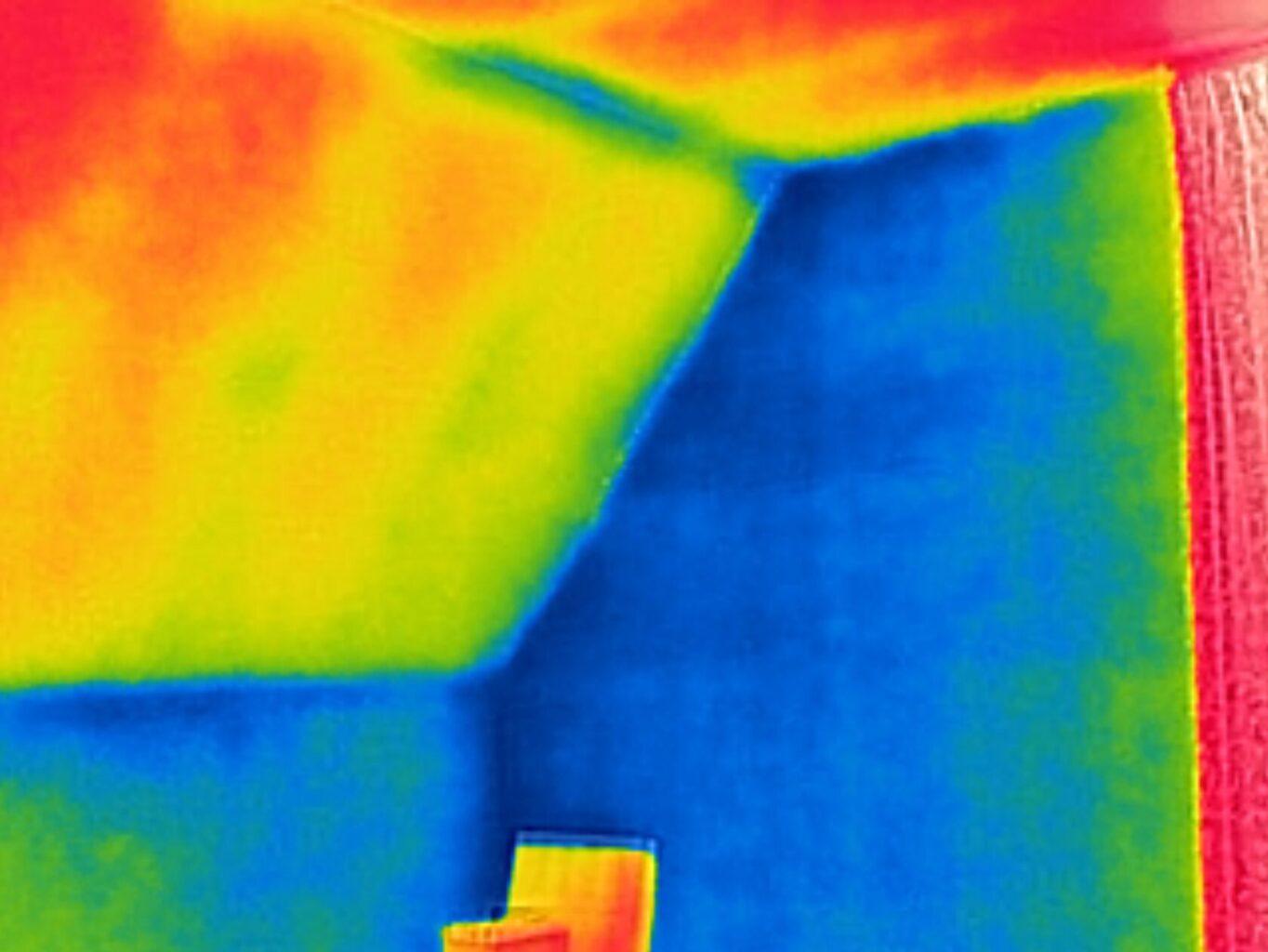
Thermal imaging enables a deeper understanding of a building’s thermal performance. By capturing infrared radiation, these cameras reveal temperature variations that are invisible to the naked eye. This non-destructive technique is particularly valuable for identifying hidden issues affecting a building’s efficiency and structural integrity. Harnessing thermal imaging technology during surveys provides a comprehensive overview of a building’s insulation, HVAC systems, and potential air leaks. This proactive approach goes beyond the surface, allowing for precise problem detection before they escalate.
Unearthing Insulation Deficiencies
One of the primary benefits of thermal imaging during building surveys is its ability to uncover insulation deficiencies. Poor insulation can lead to energy wastage, discomfort for occupants, and increased utility costs. Through thermal imaging, surveyors can identify areas with irregular temperature patterns, pinpointing insulation gaps or degradation.
For instance, a case study conducted in the UK found that implementing thermal imaging surveys in residential buildings resulted in a 20% reduction in energy consumption through targeted insulation improvements. This underscores the practical impact of thermal imaging in addressing insulation issues.
HVAC System Diagnostics
Thermal imaging plays a crucial role in diagnosing HVAC system malfunctions that might otherwise go unnoticed. By capturing temperature variations across heating, ventilation, and air conditioning systems, surveyors can identify components operating outside the normal range. A study by the Building Performance Institute Europe revealed that regular thermal imaging inspections of HVAC systems led to a 15% decrease in maintenance costs over a year. This showcases the financial benefits of early detection and targeted repairs, improving overall system efficiency.
Real-Life Applications and Success Stories
Exploring real-life applications, thermal imaging has proven instrumental in identifying diverse issues during building surveys. From detecting water leaks to locating hidden electrical faults, the technology’s versatility extends beyond insulation and HVAC systems. In a commercial building case study, thermal imaging revealed a concealed water leak behind interior walls. The timely discovery prevented extensive water damage and potential mould growth, saving the property owner thousands in repair costs.
Thermal imaging during building surveys goes beyond the surface, offering a comprehensive view of a property’s hidden issues. From insulation deficiencies to HVAC system malfunctions, the technology empowers property owners and surveyors to proactively address problems before they escalate. As we embrace the era of smart building diagnostics, thermal imaging stands out as a critical tool in ensuring the longevity, efficiency, and sustainability of our built environment.
#buildingthermography #ThermalBuildingSurvey #Thermography
https://www.dronemediaimaging.co.uk/hidden-issues-with-thermal-imaging-during-building-surveys/
Comments